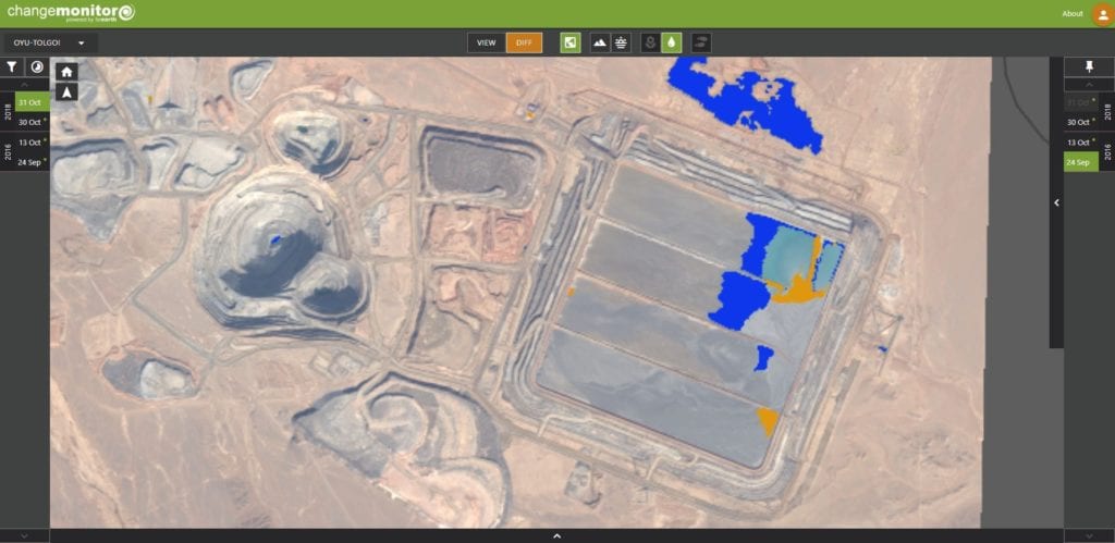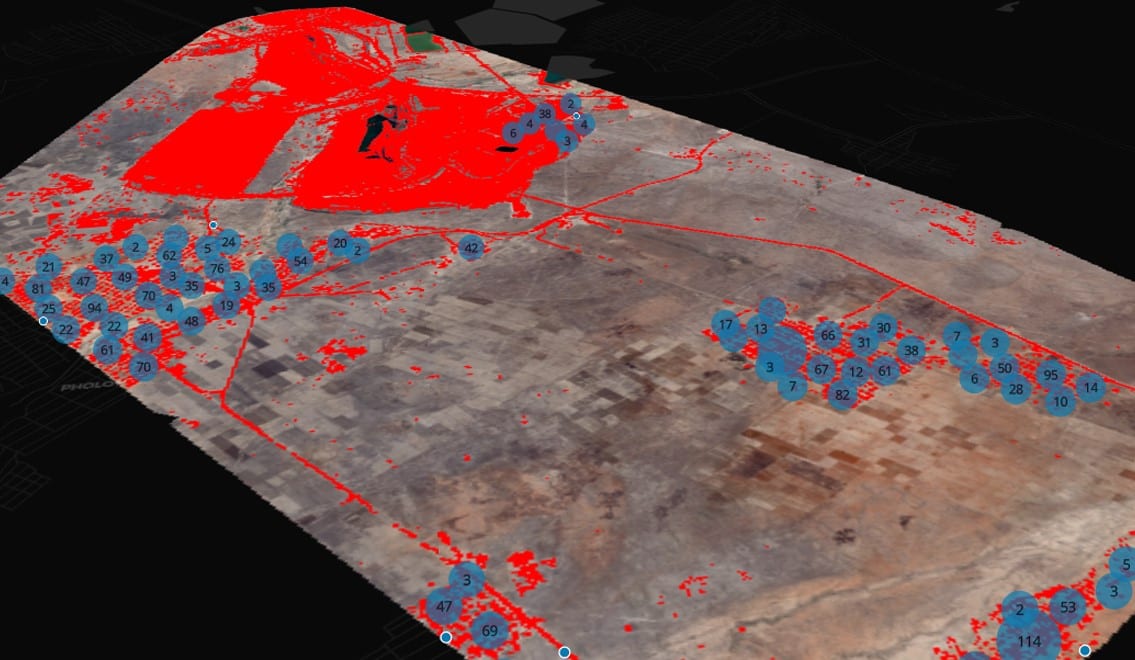
Satellite imagery in combination with a change monitoring detection platform offers an innovative solution to current ESG issues.
The increasing urgency of monitoring, reporting, and responding to environmental, social, and corporate governance (ESG) issues has come to the forefront in the last couple of years. Combined with the challenges of a worldwide pandemic, that limited travel and on-site work, alternatives had to be found to ensure that ESG issues did not get neglected. Developed by Pinkmatter Solutions, the FarEarth Change Monitor is a sensor and system agnostic platform. The main service offering focusses on satellite imagery-based solutions to the mining sector. The platform is cloud-based, allowing it to be accessed from anywhere in the world with internet access and a valid subscription, without the need to install specialist software. It is a highly intuitive system that allows non-GIS users to interpret and extract value from satellite imagery. Processed imagery with associated change detection products can be offered to the client within 48 hours, making it possible to have near real-time interpretation available to the end-product user.Applications
According to Pinkmatter Solutions MD Sonja Goosen, there is a multitude of applications of satellite imagery that addresses the ESG needs from the mining and related industry sectors. This ranges from archive imagery to track surface changes over time to newly tasked imagery to track near real-time changes or events. Goosen goes on to explain that the data can be derived from optical imagery, that includes visible and hyperspectral bands and synthetic aperture radar (SAR). Optical imagery is limited to daytime acquisitions and influenced by weather conditions, such as cloud cover or snow. It however offers a range of resolutions and allows the user to visually inspect and evaluate the imagery to make semantic interpretations. SAR on the other hand is not affected by the time of day or weather conditions, but it does not provide the user with an image that can be visually evaluated. Nicolaas Steenkamp, earth observation manager at Pinkmatter Solutions, believes that the mining industry remains at the forefront of adopting new technologies. To reduce risk and due to the amount of scrutiny mining operations have when it comes to social and environmental issues, satellite imagery provides a body of evidence that the mining company has done everything in its power to ensure that it complies with the social and environmental requirements and legislation of the host country.
Monitoring change
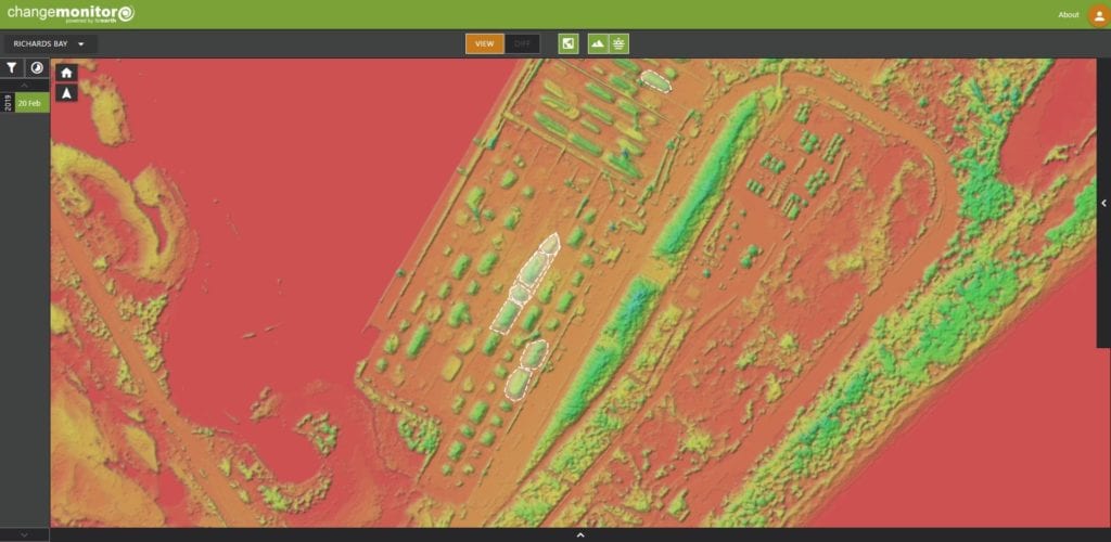
In order to perform surface change detection, a baseline image is collected and then supplemented with a series of images acquired to highlight the changes. High resolutions imagery of 0.5m, is used in detailed surface change monitoring, with red, green, blue, and near-infrared bands are used to detect vegetation and surface water changes and to detect barren ground or man-made development, adds Steenkamp. This is particularly useful in monitoring the success of mine site rehabilitation over several years. The FarEarth platform can indicate the loss and gains in vegetation and the phenology curves over the progression of the seasons. It can also be utilised to monitor the success of small-scale agricultural projects that forms part of the community development programs around mines. A sudden decrease in vegetation can also be used to track and monitor the spread of acid mine drainage. The method has also been used with success to monitor potential illegal logging or bush clearing by artisanal workings. The same method could be applied to detection of water leaks of main water pipelines, where a sudden increase in vegetation or persistent growth relative to the surrounding area could be used as a proxy in addition to detecting areas of unexpected surface water ponding. The power of SAR to detect surface subsidence and to perform surface movement monitoring (SMM) is used to monitor mining induced and natural subsidence and movement on tailings storage facilities (TSF). SAR is capable of detecting surface changes of less than a centimetre through interferometry in a time series. The application ranges from risk management in areas where there is an increase in the number of informal settlements in mined out, near surface, underground mining operations. Underground fires of pillar at collieries are one of the main risk areas that affect overlying structures and where it is used as informal travel routes. There is also continued interest and concerns around the stability of TSF sites around the globe, that resulted in more stringent monitoring requirements to be adhered to by the mine operations. SAR data can be used to detect both wetting and movement on TSF sites, which are the main caused of catastrophic collapses.